The Discovery
⚠️ COMPLETELY UNDOCUMENTED
These ruins do not appear in any archaeological registry. They are not known to mainstream archaeology. No academic papers. No tourist maps. No government records. A genuine new discovery.
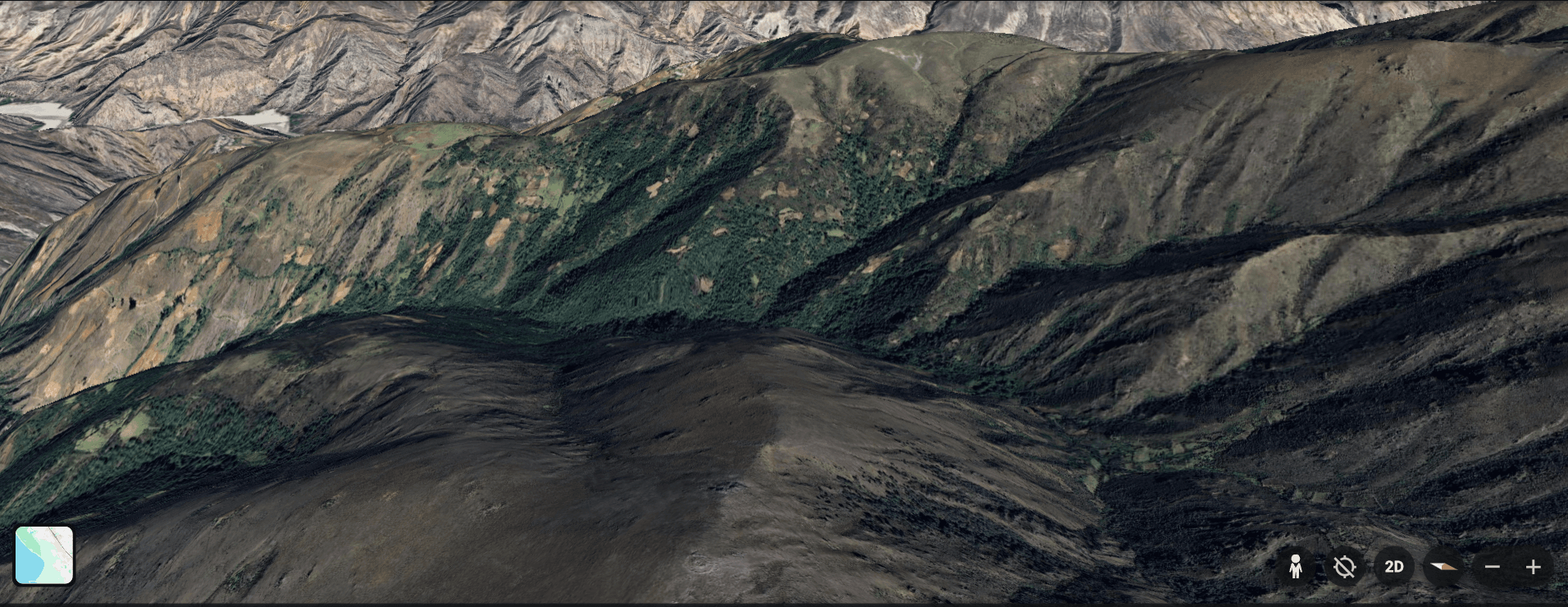
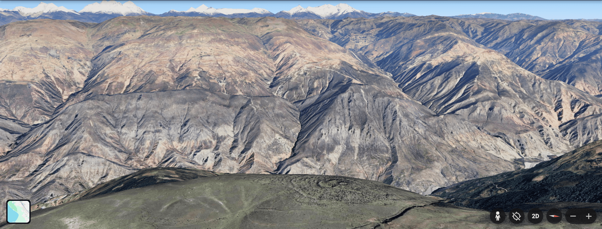
In 2024, while scanning the Peruvian highlands on Google Earth, I found something that shouldn't exist — a complex of structures at 4,000 meters elevation, completely absent from any archaeological registry.
I've never set foot there. This expedition will be the first visit.
Discovered remotely using satellite imagery. I've spent months studying the site from above — measuring structures, mapping the layout, identifying features. But I've never been there in person. Nobody has, as far as I can tell. Not in modern times.
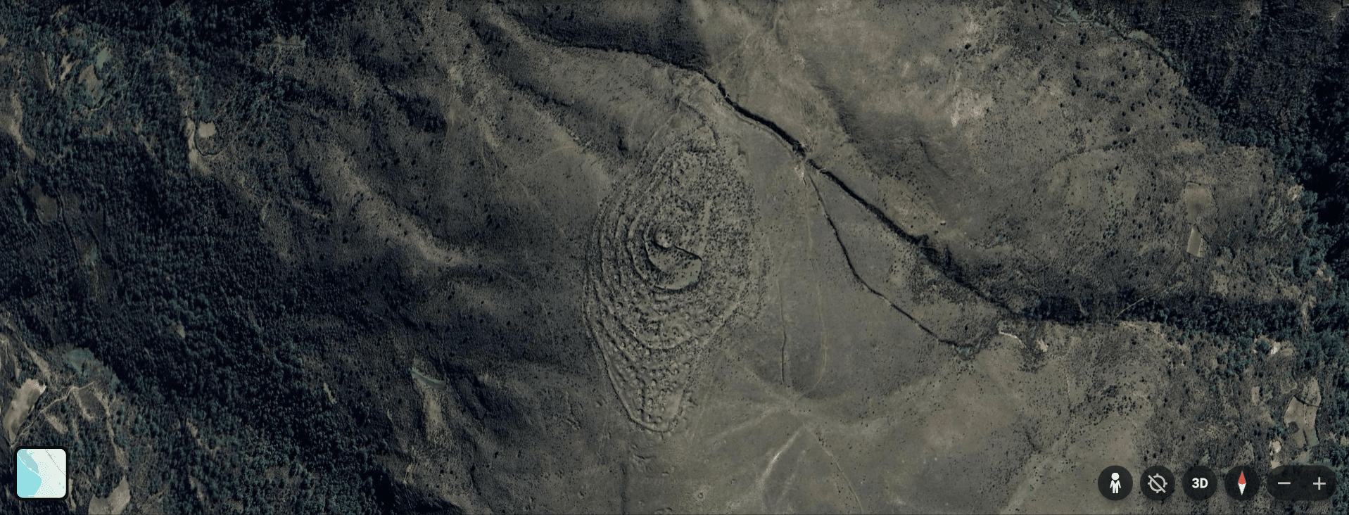
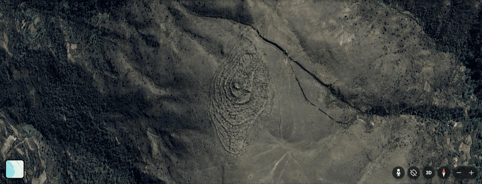
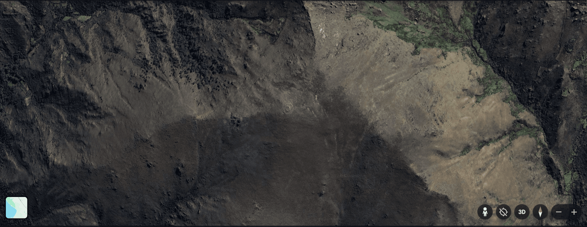
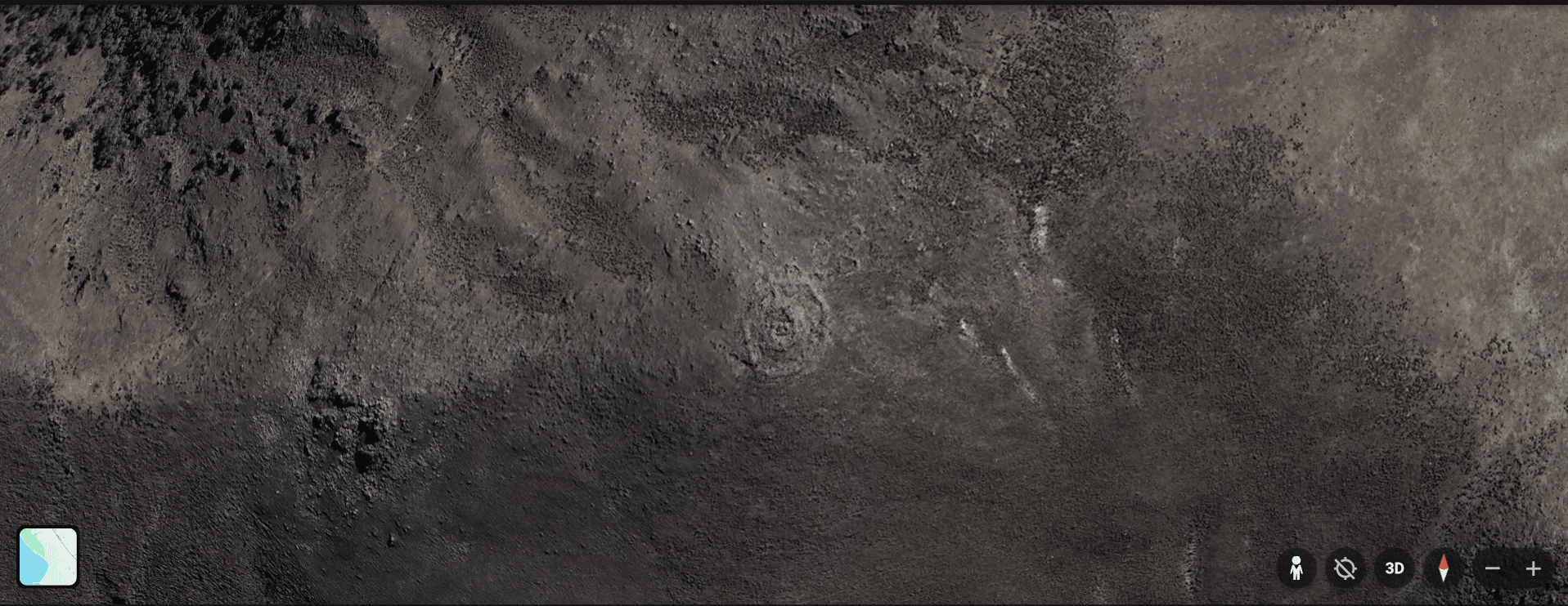
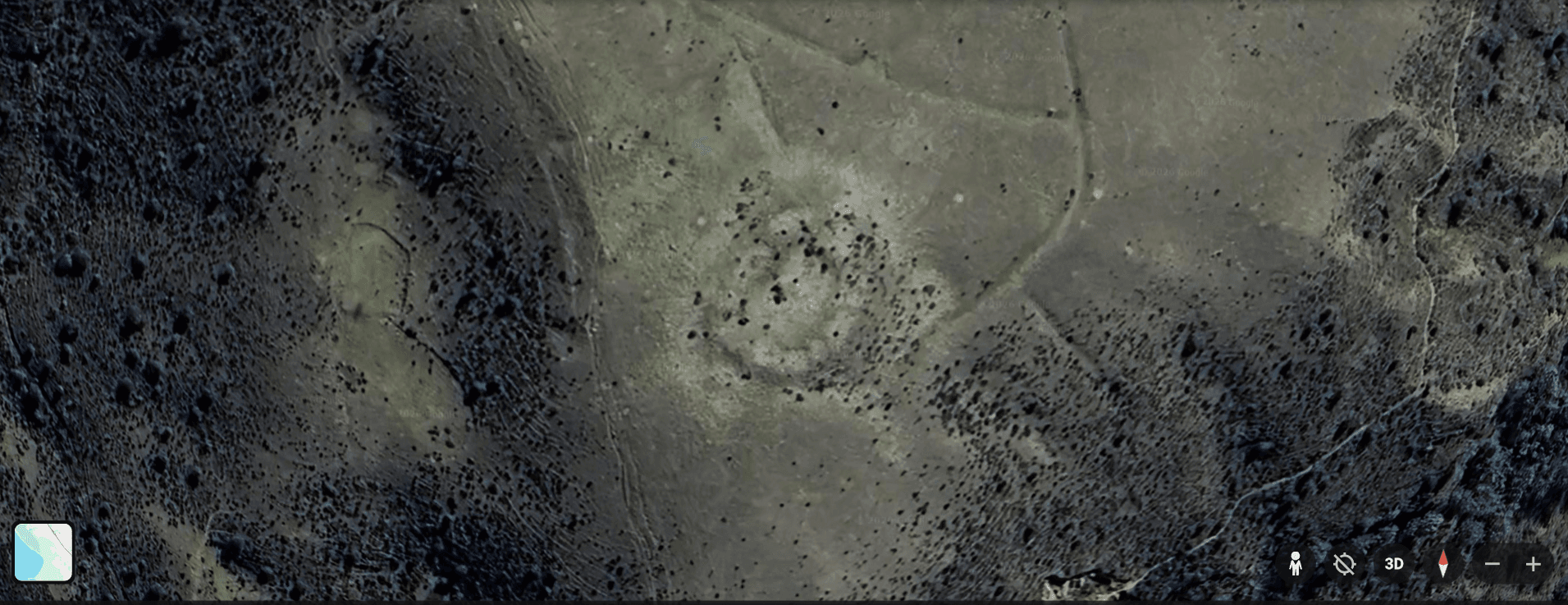
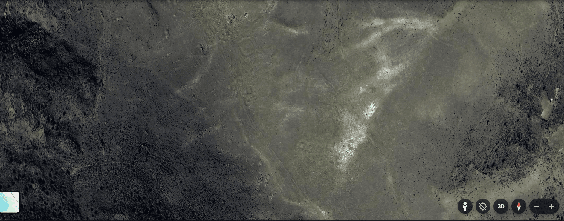
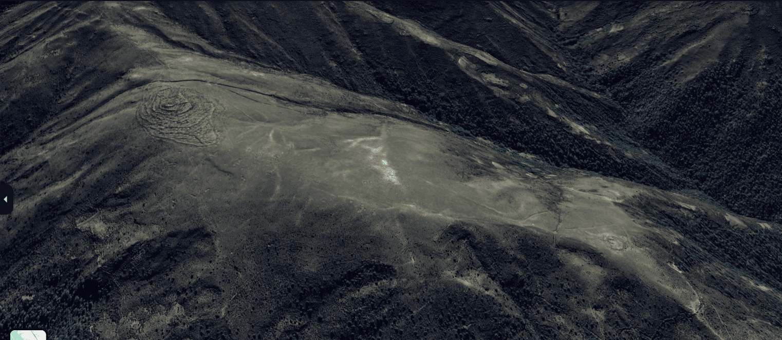
Google Earth discovery — satellite view of the main complex
What the satellite shows: A main complex with clear architectural features. A circular structure of unknown purpose. A terraced "arena" carved into the hillside. Rectangular buildings that suggest this was once a significant site. All of it completely undocumented — invisible to mainstream archaeology.
The journey will take two days by motorcycle from Trujillo, climbing from sea level into the high Andes to 4,000 meters. I've obtained film permission from Peru's Ministry of Culture. This is legitimate documentation — not treasure hunting, not looting. Just evidence that needs to be recorded before it's lost.
The location will not be disclosed. Not the coordinates, not the region, not the route. This is about documentation, not exploitation.